Wind erosion in south-west Western Australia
External link
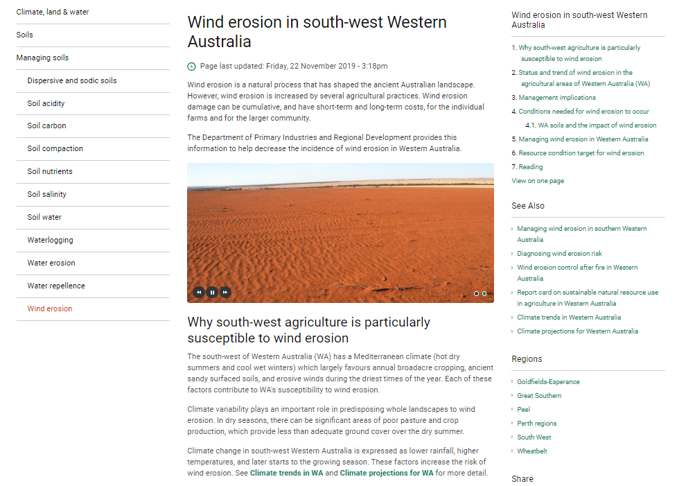
The Department of Primary Industries and Regional Development provides this information to help decrease the incidence of wind erosion in Western Australia.
Department of Primary Industries and Regional Development

APSoil
Tool or calculator
APSoil is a database of soil water characteristics enabling estimation of Plant Available Water Capacity for individual soils and crops.
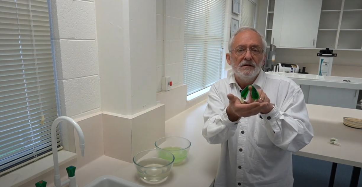
Plants experience osmotic stress when they are exposed to salinity in soil.
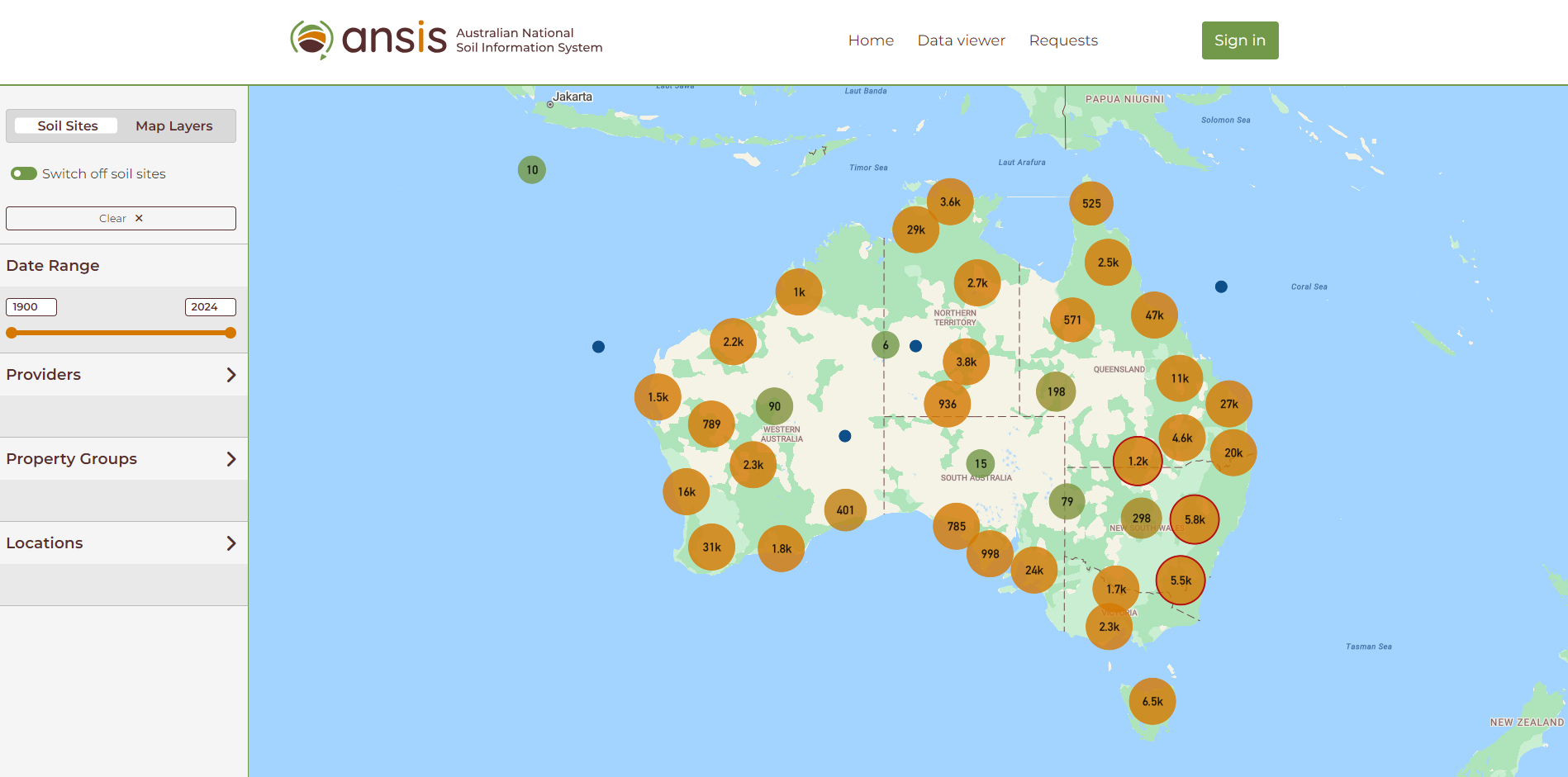
Australian National Soil Information System (ANSIS)
Tool or calculator
The Australian National Soil Information System (ANSIS) provides access to nationally consistent soil data and information to support the sustainable management of soil.
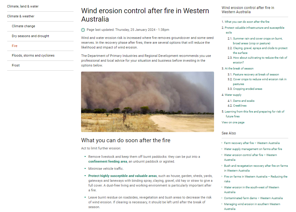
Wind erosion control after fire in Western Australia
External link
The Department of Primary Industries and Regional Development pages on erosion control after fire in Western Australia.
Department of Primary Industries and Regional Development
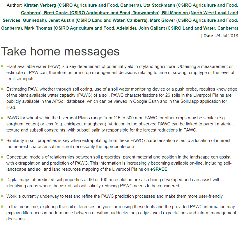
Soil water – methods to predict plant available water capacity (PAWC) using soil-landscape associations
Report or other publication
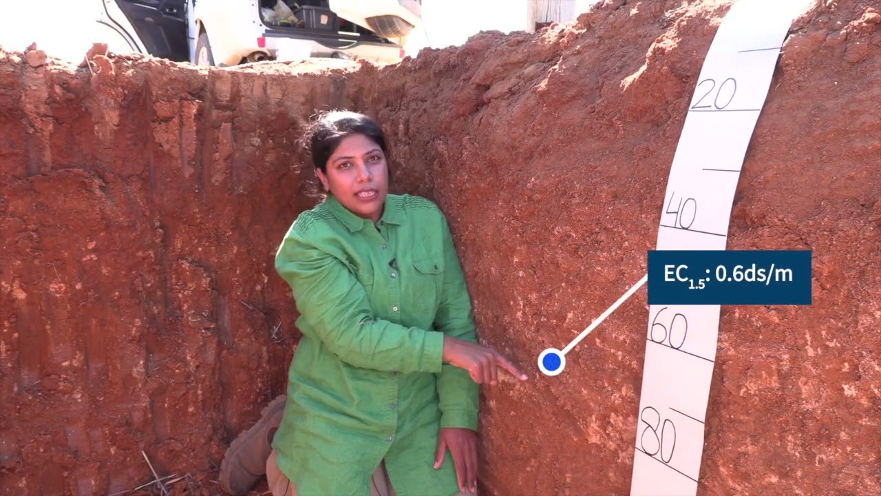
There are no hard and fast rules for diagnosing soil affected by sodicity in semi-arid and higher-rainfall landscapes.
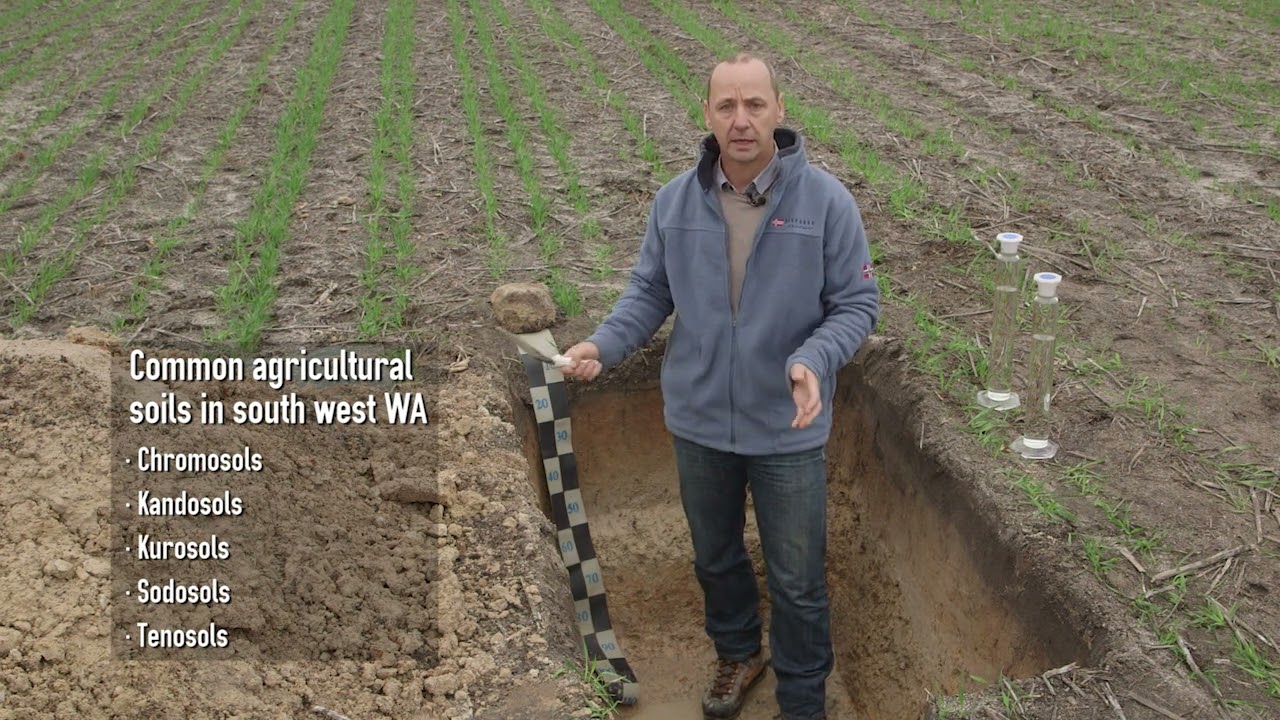
The Australian Soil Classification (ASC) system provides a framework for organising knowledge about Australian soils by allocating soils to classes.
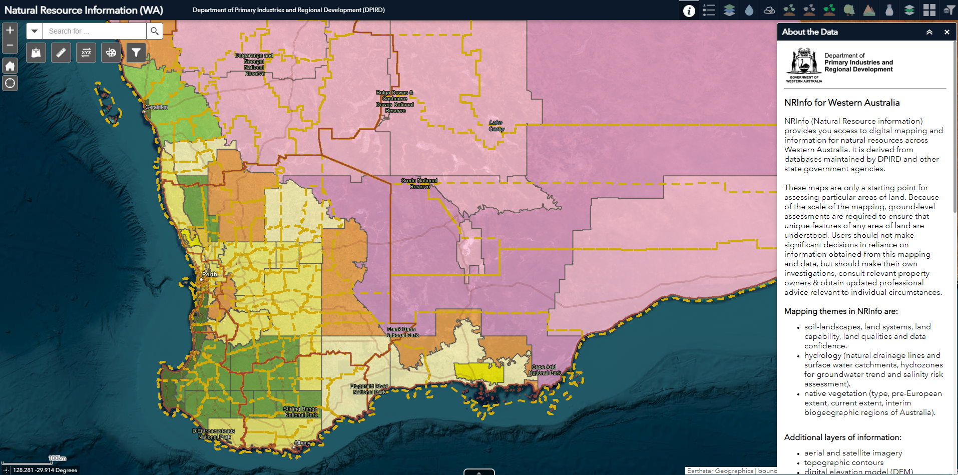
NRInfo
Tool or calculator
The Department of Primary Industries and Regional Development provides access to digital mapping and information for natural resources across Western Australia through NRInfo (natural resource information).
Department of Primary Industries and Regional Development

